Destinations4 min read
How to Read a Topographic Map
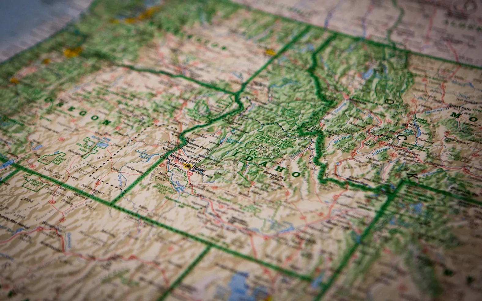
A topographic map shows the shape of the land with contour lines, each of which joins points at the same height above sea level. Lines packed close together mean steep ground, lines spread far apart mean gentle ground, and the patterns they form reveal hills, valleys, ridges and passes. Learn those few patterns and you can picture a landscape before you set foot in it.
Contour lines: the three rules
- Every point on one line is at the same elevation.
- The height difference between neighbouring lines, called the contour interval, is the same across the whole map. It is printed in the margin.
- Contour lines never cross. Where they appear to merge, the ground is a cliff.
Every fourth or fifth line is drawn thicker and labelled with its height. These index contours let you work out the elevation of the lines in between by counting.
Reading steepness
| What you see | What it means on the ground |
|---|---|
| Lines far apart | Flat or gently sloping terrain |
| Lines evenly spaced | A steady, uniform slope |
| Lines close together | Steep ground |
| Lines touching or merging | A cliff or very steep face |
| Spacing that tightens uphill | A slope that gets steeper towards the top |
To judge the climb on a route, count how many contour lines the path crosses and multiply by the interval. A trail that runs alongside the lines stays level; one that cuts straight across them goes directly up or down.
Recognising landforms
- Summit: a set of closed loops, one inside another, with the smallest at the top.
- Valley or stream gully: V or U shapes whose points aim uphill, towards higher numbers. A blue line often runs through the points.
- Ridge or spur: V or U shapes whose points aim downhill, towards lower numbers.
- Saddle or pass: an hourglass shape between two summits, the low point on a ridge.
- Depression: a closed loop with short tick marks pointing inwards.
If you are unsure whether a set of Vs is a valley or a ridge, read the heights on the nearest index contours. That settles it every time.
Scale: how much ground the paper covers
Scale is the ratio between distance on the map and distance on the ground. At 1:25,000, one centimetre on the paper equals 250 metres in the real world; at 1:50,000 it equals 500 metres. In the United States, the standard detailed topographic sheets are drawn at 1:24,000, where one inch represents 2,000 feet.
Larger-scale maps such as 1:25,000 show more detail and suit walking. Smaller-scale maps cover more area per sheet and suit planning or cycling. Use the scale bar in the margin to measure a route with a piece of string or the edge of a compass.
Colours and symbols
Conventions differ between countries and publishers, so always look at the legend. Broadly:
- Brown: contour lines.
- Blue: water, including streams, lakes and marsh.
- Green: woodland or other vegetation.
- Black: buildings, paths, boundaries and place names.
- Red or orange: roads, and on some maps rights of way.
Paths are usually dashed lines, and the legend will explain the difference between a maintained trail, a faint route and a legal right of way that may not exist on the ground at all.
North, and why there are two of them
The top of the map is north by convention, but a compass needle points to magnetic north, which differs from the map's north by an angle called declination. The margin states the angle for that sheet and roughly how it changes over time. In some regions it is small enough to ignore on a short walk; in others it is large enough to send you well off course, so check before relying on a bearing.
Orienting the map
- Lay the map flat and place the compass on it.
- Turn the map and compass together until the needle lines up with the north lines on the map, allowing for declination.
- The map now faces the same way as the land. A hill to your left on the paper is to your left in the real world.
Without a compass, you can orient roughly by matching visible features such as a lake, a road or a distinctive summit to their symbols. A crude sense of direction from the sun helps too, and our piece on using a watch as a compass explains one way to get it.
Putting it to work on a route
Before a walk, trace the path with a finger and note where it climbs steeply, where it crosses water and where an easier way down exists if the weather changes. Pick out a few features you can tick off as you pass them, such as a stream junction or a saddle. Then build the day around what the map tells you, using the steps in our guide to planning a hiking trip.
Maps matter most where signposts are absent. That includes undeveloped public land where people camp away from campgrounds and open country reached under access rights, which our overview of where you may walk and wild camp describes. Keep the sheet in the lid of your pack, where it is easy to reach; the guide on how to pack a backpack covers what else belongs there.
Paper or phone?
Both. Mapping apps with downloaded maps are quick and show your position, while paper never runs out of battery and shows far more ground at once. Carry the paper map in a waterproof case and treat the phone as the convenient first choice, not the only one.
Editor’s picks
 MoviesWhy IPTV Continues to Gain Ground Across France3 min read
 MoviesIPTV in the Netherlands: Enhancing Entertainment with Innovation and Convenience3 min read
 Guides & TipsCamping in the Rain: How to Stay Dry and Enjoy It4 min read
 ActivitiesA Fresh Start: The Benefits of End of Lease Cleaning in Melbourne3 min read
Through the years
2026
2025
- The IVG Pro: Design, Consistency, and Convenience for Adult Vapers
- From Site to Sorting: How Container Services Streamline Construction Projects in Germany
- Photo Booth Hire That People Actually Use: How It Turns Moments Into Shared Stories
- Gentle Tributes, Delivered: Ordering a Funeral Bouquet From an Online Flower Shop
- Silicon and Soil: Champagne’s Quiet Tech Upgrade
2024
- Why UK-Based SEO Agencies Are Leading the Way in Digital Marketing Excellence
- From Education to Entertainment: How AI Is Reshaping Learning and Leisure
- How Automation and AI Are Revolutionizing Google Ads Campaigns
- Space-Saving Illumination: How Recessed Lighting Enhances Small Rooms
- Crafting Comfort: Customizable Options for Retractable Awnings